Table of Contents
Introduction
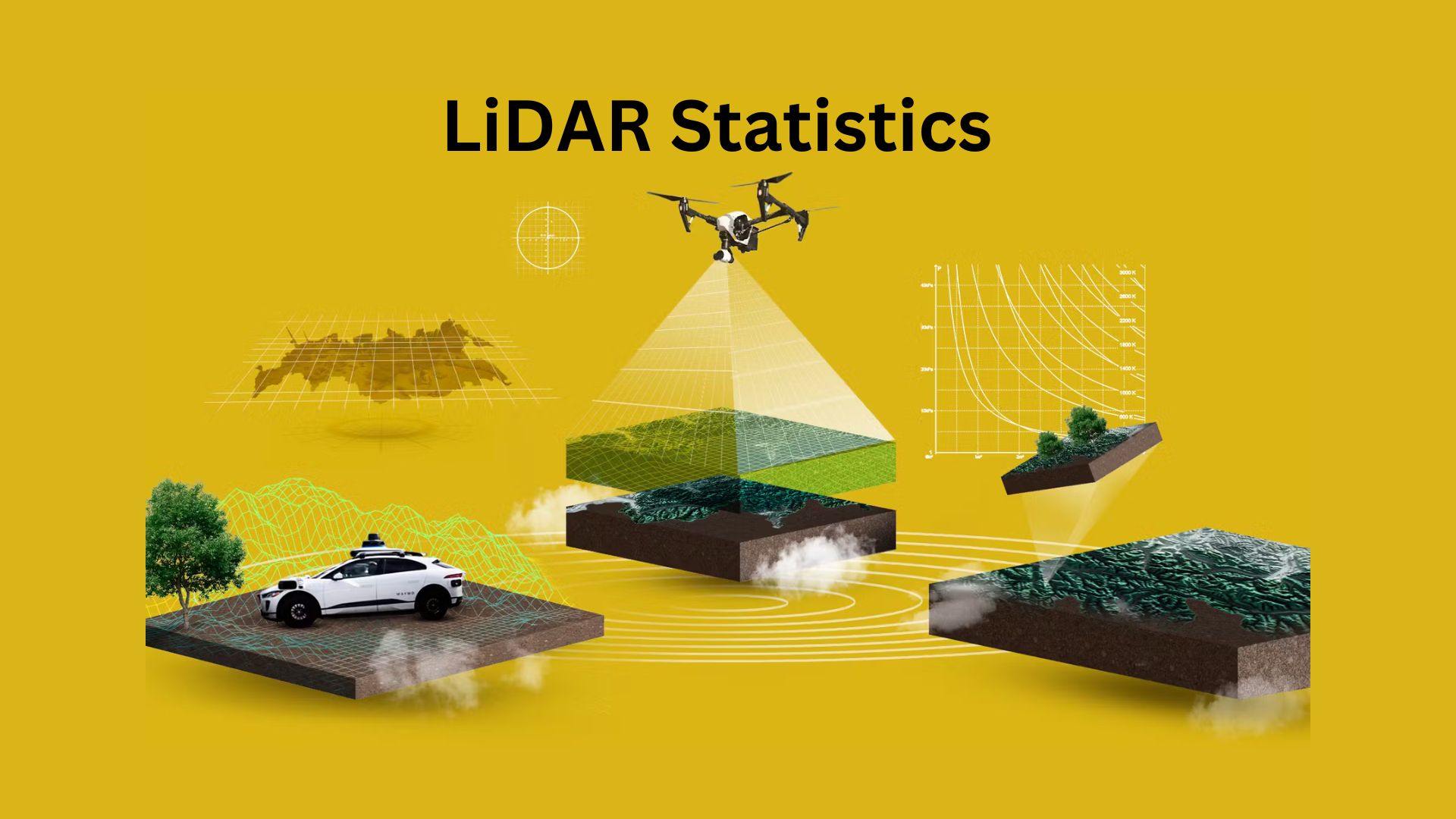
LiDAR Statistics: LiDAR (Light Detection and Ranging) is a powerful technology used in many fields, such as self-driving cars, mapping the environment, archaeology, and city planning. It works by sending out laser beams to measure distances accurately, creating detailed 3D images of landscapes, buildings, and objects.
The global market for LiDAR is growing fast. It was worth about $2.1 billion in 2022 and is expected to increase at a rate of more than 15% per year from 2023 to 2030. As artificial intelligence improves, costs go down, and more industries—like farming and disaster response—start using LiDAR, this technology is changing the way we collect and analyze spatial data. This article will shed more light on LiDAR Statistics.
Editor’s Choice
- LiDAR products are expected to increase in value from $38 million in 2021 to $2 billion by 2027.
- LiDAR is becoming more popular in smart infrastructure, such as traffic control and security systems. The market for it will rise from $108 million in 2021 to $1.1 billion by 2027.
- Automated logistics is another fast-growing sector, expected to expand from $92 million in 2021 to at least $344 million by 2027.
- One of the biggest challenges in using LiDAR is its high cost. Systems average $23,000, making it expensive for new businesses to enter the market.
- Additionally, operating LiDAR-equipped drones requires licensed pilots, and training costs range from $200 to $550.
What is LiDAR?
LiDAR (Light Detection and Ranging) is a technology that uses laser light to measure distances. It sends beams to an object and calculates how long it takes for the light to bounce back. LiDAR can focus in one direction, like straight up and down, or scan multiple directions to create 3D images.
LiDAR is widely used in mapping, archaeology, geology, forestry, earthquake studies, and weather research. By changing the light’s wavelength, it helps make detailed maps of land, ocean floors, and coastal areas. Technology also plays a key role in self-driving vehicles, NASA’s Mars helicopter Ingenuity, and satellite mapping. NASA is working on LiDAR to help future spacecraft land safely on the Moon.
With improvements in quantum technology, a new type called Quantum LiDAR has been developed, which is more precise and efficient than older versions.
Application of LiDAR
LiDAR is a powerful tool used in many industries to create detailed 3D maps of land, water, and moving objects. It provides high-resolution images in real time, making it useful in different fields:
- Farming – LiDAR sensors help farmers study land shape, soil conditions, and crop growth. They also measure moisture levels, slopes, and depth variations. In addition, LiDAR is used to steer self-driving farm machines.
- Aerospace & Military- LiDAR helps map terrain, track targets, detect landmines, and plan military operations, even in busy cities or bad weather.
- Self-Driving Cars & Transportation- Autonomous cars and advanced driver-assistance systems (ADAS) use 3D LiDAR data to understand their surroundings and safely move through roads.
- Air Travel- LiDAR helps airports measure wind speed, track airplanes, and spot objects on runways that could cause accidents.
- Water & Ocean Mapping (Bathymetry)- LiDAR with green lasers can scan through water to create maps of rivers, lakes, and ocean floors. This helps study erosion, wildlife habitats, and flood risks.
- Building & Construction- LiDAR quickly measures construction sites, estimates material amounts, and checks for safety hazards, helping projects stay on schedule.
- Energy Sector- Power companies use LiDAR for wind energy studies, oil and gas searches, and to monitor trees near power lines to prevent blackouts.
- Virtual & Augmented Reality- LiDAR helps create realistic environments for virtual reality (VR) and augmented reality (AR) games and applications.
- Forests & Wildfire Management- LiDAR makes detailed maps of forests and helps measure tree height, leaf coverage, and canopy size. It is also used to track and control wildfires.
- Mining & Geology- LiDAR is used to map mines and quarries that are difficult to reach, improving worker safety and providing accurate volume calculations.
- Manufacturing & Quality Control- LiDAR helps create 3D models of objects used in production and checks for flaws or defects to improve product quality.
- Mapping Roads & Infrastructure- LiDAR is used to map roads, bridges, and landscapes, providing accurate data for city planning and development.
- Vegetation Monitoring- LiDAR scans forests to track plant health, density, and types of vegetation, helping prevent trees from interfering with power lines and buildings.
- Weather & Climate Studies- Scientists use LiDAR to measure temperature, wind speed, air pressure, and cloud levels, helping improve weather forecasts.
Because of its many uses, LiDAR continues to change industries by providing accurate, real-time data that helps businesses and researchers make better decisions.
General LiDAR Statistics
- The worldwide LiDAR industry was valued at $962 million in 2020 and is expected to grow to $5.36 billion by 2031, with an annual growth rate of 16.5%.
- As more industries, especially automotive, adopt this technology, the demand for LiDAR mapping software has increased.
- It was worth $217.6 million in 2022 and is predicted to reach $1.27 billion by 2031.
- By the end of 2022, the total LiDAR market reached $1.6 billion, with airborne and land-based LiDAR each valued at $1 billion.
- With ongoing improvements and more uses being discovered, the market is expected to grow to $4.5 billion by 2027.
- In 2021, mechanical LiDAR made up 98.3% of the automotive market. However, by 2026, the industry is shifting towards solid-state LiDAR, and its market value could rise to $21.2 billion.
 (Source: scoop.market.us)
- Even though LiDAR is growing quickly, some challenges remain.
- Processing LiDAR data requires 22% more access to line data, 18% larger file storage, and high computing power.
- Processing LiDAR data is also costly, with skilled workers and software costing over $20,000. Proper planning and budgeting are essential to getting the best results from LiDAR technology.
- With its rapid expansion and increasing applications, the LiDAR industry is expected to transform multiple industries while addressing challenges related to costs, data processing, and skilled labor shortages.
LiDAR Market Revenue – by Product Type Statistics
 (Reference: scoop.market.us)
- In 2022, the global LiDAR market was worth $1.6 billion, with airborne LiDAR earning $1 billion and terrestrial LiDAR earning $1 billion.
- However, the mobile & UAV LiDAR segment did not generate any revenue that year.
- By 2023, total earnings will have increased to $2 billion, with the same revenue split among the LiDAR categories.
- The market is expected to keep growing, reaching $2.3 billion in 2024 and $3 billion in 2025, as more industries adopt LiDAR for mapping, land surveys, and self-driving technology.
- Revenue is projected to grow to $3.8 billion in 2026, with airborne LiDAR increasing to $2 billion, while terrestrial, mobile, and UAV LiDAR will each contribute $1 billion.
- Looking further ahead, the market is expected to expand to $4.5 billion in 2027 and continue rising to $11.6 billion by 2032.
- By then, airborne LiDAR could generate $5 billion, while terrestrial LiDAR reaches $4 billion.
- The mobile & UAV LiDAR segment is also predicted to grow significantly, reaching $3 billion.
- The LiDAR industry is growing rapidly as more businesses and industries start using the technology.
- This growth is expected to continue for the next decade, with all types of LiDAR playing a major role in expanding the market.
LiDAR Market Statistics
 (Reference: electroiq.com)
- In 2019, the global LiDAR market was worth about $960 million, as the technology was still developing and gaining popularity in different fields.
- The market is expected to grow to $5.35 billion by 2030, a significant increase as industries such as automobiles, farming, and city development continue to adopt LiDAR.
- The market is predicted to expand by $4.39 billion over the next 11 years, with an average yearly growth rate of 16.5%.
- Better technology, lower costs, and new uses for LiDAR in various industries fuel this growth.
Automotive LiDAR Shipments Statistics
 (Reference: scoop.market.us)
- The automotive LiDAR market is expected to grow significantly between 2022 and 2032, mainly because more cars are using LiDAR technology for self-driving features and advanced driver-assistance systems (ADAS).
- In 2022, around 1.4 million LiDAR sensors were shipped for vehicles, showing that the technology was starting to enter the industry.
- However, as autonomous vehicles become more common, the demand for LiDAR sensors is expected to rise quickly.
- Shipments are estimated to jump to 10.9 million units by 2027, marking a big increase in just five years.
- The market is expected to expand even more in 2032, with 34 million LiDAR sensors projected to be shipped.
- This huge growth shows how important LiDAR technology is for making cars safer and supporting self-driving technology, making it a key part of the future automotive market.
Regional LiDAR Statistics
 (Source: grandviewresearch.com)
#1. North America’s Leading Position in the LiDAR Market
 (Source: databridgemarketresearch.com)
- In 2024, North America held the biggest share of the global LiDAR market at 32%.
- The increasing use of LiDAR in self-driving cars, smart cities, and defence projects fuels the region’s growth.
- Demand is also rising due to transportation upgrades and urban development.
- Many companies in North America are working on high-resolution LiDAR systems to improve real-time mapping and data accuracy.
- With a strong tech industry, the region is a center for research and innovation in LiDAR.
- Additionally, government funding and private-sector partnerships are helping expand the market.
#2. U.S. LiDAR Market Trends
 (Reference: precedenceresearch.com)
- The LiDAR market in the U.S. is growing because of advancements in autonomous vehicle technology and aerial mapping.
- The automotive industry is a major factor, as LiDAR is essential for advanced driver-assistance systems (ADAS) and self-driving vehicles.
- The defence sector also invests heavily in LiDAR for surveillance, targeting, and security operations.
- Other industries, like farming and environmental monitoring, are using LiDAR for precision agriculture and disaster response.
- Government policies promoting road safety and infrastructure improvements are further boosting market growth.
#3. LiDAR Market Growth in Europe
 (Source: databridgemarketresearch.com)
- In Europe, the LiDAR market is expanding due to its role in smart transportation and ADAS adoption.
- LiDAR helps Europe achieve its goals of lowering carbon emissions and making roads safer, especially through the development of electric and self-driving cars.
- Europe’s focus on environmental sustainability is also increasing the use of LiDAR for land management and climate research.
- Additionally, investments in smart cities and modern transportation systems are opening up new opportunities for LiDAR technology.
#4. Asia Pacific’s Growing LiDAR Industry
 (Source: databridgemarketresearch.com)
- The Asia Pacific region is seeing rapid LiDAR market growth, mainly due to high demand in the automotive sector and major infrastructure projects.
- Countries like China and Japan are leading in the use of LiDAR for self-driving cars and public transport systems.
- LiDAR is also being used more in industrial automation, agriculture, and environmental monitoring.
- Governments in the Asia Pacific are making large investments in smart city development and infrastructure improvements, further driving the demand for LiDAR technology.
LiDAR Application Insight
 (Reference: scoop.market.us)
- In 2024, corridor mapping made up the biggest share of the LiDAR market at 39%.
- This application is widely used to map roads, railways, power lines, and pipelines with high accuracy and detailed resolution. The data collected is essential for planning, maintaining, and developing infrastructure projects.
- The exploration & detection sector is projected to expand at a 14.1% annual growth rate (CAGR) in the coming years.
- LiDAR is used in industries like mining, natural resource exploration, and archaeology to map landscapes, analyze geological formations, and uncover hidden sites.
 (Reference: scoop.market.us)
- This technology helps improve efficiency in exploration efforts and supports the discovery of valuable materials and historical structures.
- The LiDAR market for automotive and industrial uses is expected to grow significantly, increasing from $2.1 billion in 2021 to $6.3 billion by 2027. This expansion is fueled by a 22% yearly growth rate (CAGR) from 2022 to 2027.
- The automotive sector is the biggest reason behind this rapid growth. The automotive LiDAR market is set to rise from $38 million in 2021 to $2.0 billion in 2027.
- Additionally, self-driving cars will further increase demand for LiDAR. This part of the market is expected to grow from $120 million in 2021 to $698 million in 2027.
- LiDAR is also being widely used in smart infrastructure projects, such as traffic control and security systems.
- The smart infrastructure LiDAR market is expected to grow from $108 million in 2021 to $1.1 billion by 2027.
- Another area that is seeing fast growth is logistics automation, where LiDAR helps improve warehouse and supply chain operations.
- The logistics LiDAR market is expected to expand from $92 million in 2021 to $344 million by 2027.
- These trends show that LiDAR technology is becoming more important in transportation, automation, and city development, with demand rising across many industries.
Challenges of LiDAR Technology
- LiDAR systems are expensive, with a basic high-quality setup costing around $23,000. If you plan to use it with a drone, you’ll need an extra $10,000 to $16,000 to get everything running.
- Other necessary expenses include batteries, a base station, and a GPS rover. Since LiDAR equipment is costly, insurance is important.
- A $23,000 system may require at least $2,000 per year for insurance.
Hiring Skilled Workers
- Operating LiDAR technology requires trained professionals. If using a drone, you’ll need a licensed drone pilot.
- In Canada, getting an advanced drone license costs about $550, covering study materials and the exam. In the U.S., taking the FAA commercial drone pilot test costs $200 and usually requires 15-30 hours of study over about a week.
Processing LiDAR Data
- While one person can collect LiDAR data, processing it takes technical skills.
- A team member with AutoCAD training may handle some tasks, but LiDAR processing software costs more than $20,000, requiring an additional investment.
Conclusion
The LiDAR industry is growing quickly as more sectors, including automotive, smart cities, logistics, and environmental monitoring, start using this technology. The market is expected to expand from $2.1 billion in 2021 to $6.3 billion by 2027 and further reach $11.6 billion by 2032. The automotive industry, especially self-driving cars and driver assistance systems (ADAS), is a key factor behind this growth. At the same time, industries like construction, mining, and farming are adopting LiDAR to improve efficiency and accuracy.
As technology advances and costs decrease, LiDAR will continue to play an important role in precision mapping, automation, and smart infrastructure, shaping the future of transportation, safety, and urban development worldwide.